
ABOUT US
We offer advanced drone services, blending technical precision with expressive aerial videography. We leverage artificial intelligence to optimize our operations, ensuring greater efficiency and safety. By implementing the potential of tokenization and blockchain, we enhance digital content ownership, streamline content management, and innovative performance improving how content is created, distributed, and valued, while ensuring transparency in every process. Our solutions drive performance, precision, and success across diverse industries.
Research & Technology Integration
We are dedicated to staying at the forefront of technological advancements by incorporating AI and Blockchain into our operations. This allows us to offer innovative solutions that enhance data analysis, streamline processes, and provide secure, scalable systems, ensuring we deliver cutting-edge results for all projects.

Tactical Aerial Engineering
Deploying advanced drone technology for tactical operations, offering detailed aerial data and strategic insights to optimize real-world decision-making.

Cinematic Aerial Filming
Creating breathtaking aerial cinematics for movies, commercials, documentaries, and more. Our expert pilots capture cinematic shots that elevate your visual storytelling.

Aerial Inspections & Surveys
Conducting high-precision inspections for infrastructure, utilities, and real estate, capturing detailed data to ensure safety, compliance, and operational efficiency.

Real Estate Aerial Imagery
Providing stunning aerial views for real estate, offering a unique perspective to highlight properties, land developments, and architectural designs.

Technical Data Capture & Mapping
Utilizing advanced drone technology to capture topographic data, 3D mapping, and detailed GIS (Geographic Information Systems) to aid in planning, construction, and resource management.

Creative Media Production
Tailored video production services, combining aerial cinematics with ground-level production to create compelling content for marketing, social media, and brand engagement.

Cutting-edge service
We offer mapping and diagnostics services powered by artificial intelligence and 3D technology to provide you with precise and detailed information, using state-of-the-art drones, we capture and analyze high-resolution data, generating 3D models and intelligent reports that optimize decision-making, whether in agriculture, construction, mining, or industrial monitoring, we help you enhance efficiency, reduce costs, and improve safety in every operation.

")
")
-
Sale!

Basic Aerial Inspection Pack
Original price was: $600.00.$499.00Current price is: $499.00. Add to cart -
Sale!
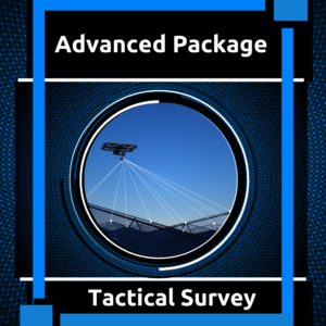
Advanced Tactical Survey Pack
Original price was: $1,210.00.$999.00Current price is: $999.00. Add to cart -
Sale!
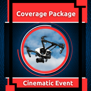
Cinematic Event Coverage Pack
Original price was: $1,350.00.$1,299.00Current price is: $1,299.00. Add to cart -
Sale!

Commercial Drone Window Washing Pack
Original price was: $20.00.$15.00Current price is: $15.00. Add to cart -
Sale!
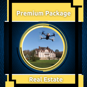
Real Estate Premium Pack
Original price was: $850.00.$799.00Current price is: $799.00. Add to cart -
Sale!
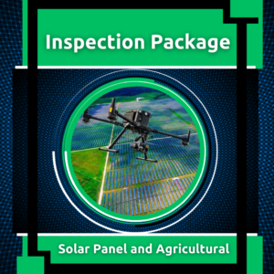
Agricultural & Solar Panel Inspection Pack
Original price was: $1,350.00.$1,199.00Current price is: $1,199.00. Add to cart -
Sale!
Roofing Inspection Pack
Original price was: $1,000.00.$499.00Current price is: $499.00. Add to cart
